To download, click on a map and it will expand. Then, right click on the image, select Save As, and choose a location on your device to save the map.
Jump to:
| Maps of Ancient Mediterranean | Maps of Asia |
| Maps of Europe after antiquity | Maps of Oceania |
| Maps of the Americas |
Ancient Mediterranean
-
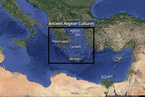
- Ancient Aegean cultures

-
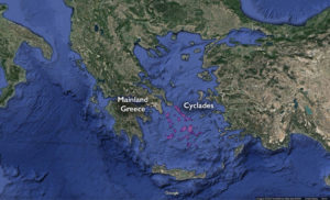
- The Cyclades

-
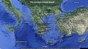
- The Ancient Greek World
-
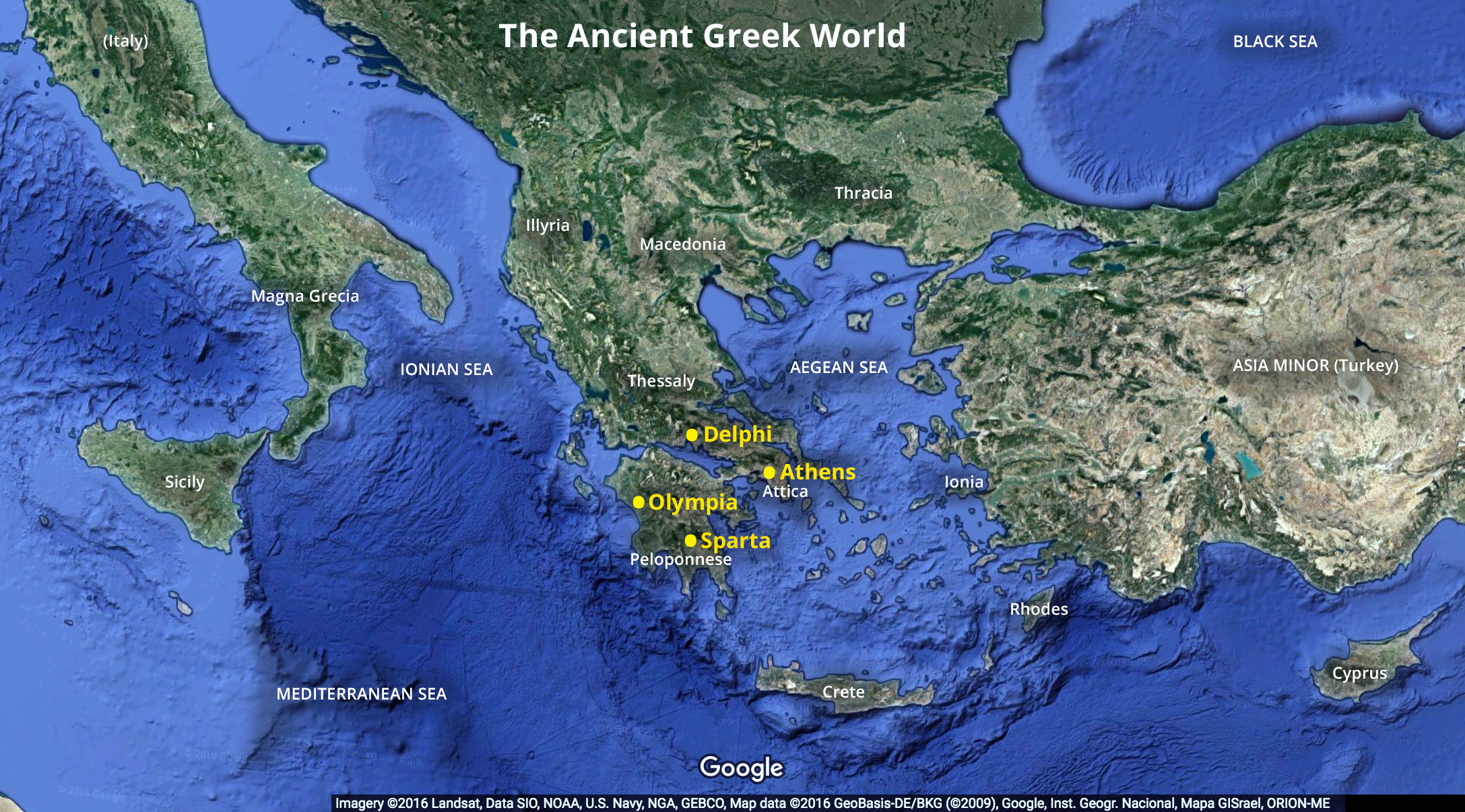
- Ancient Greece

-

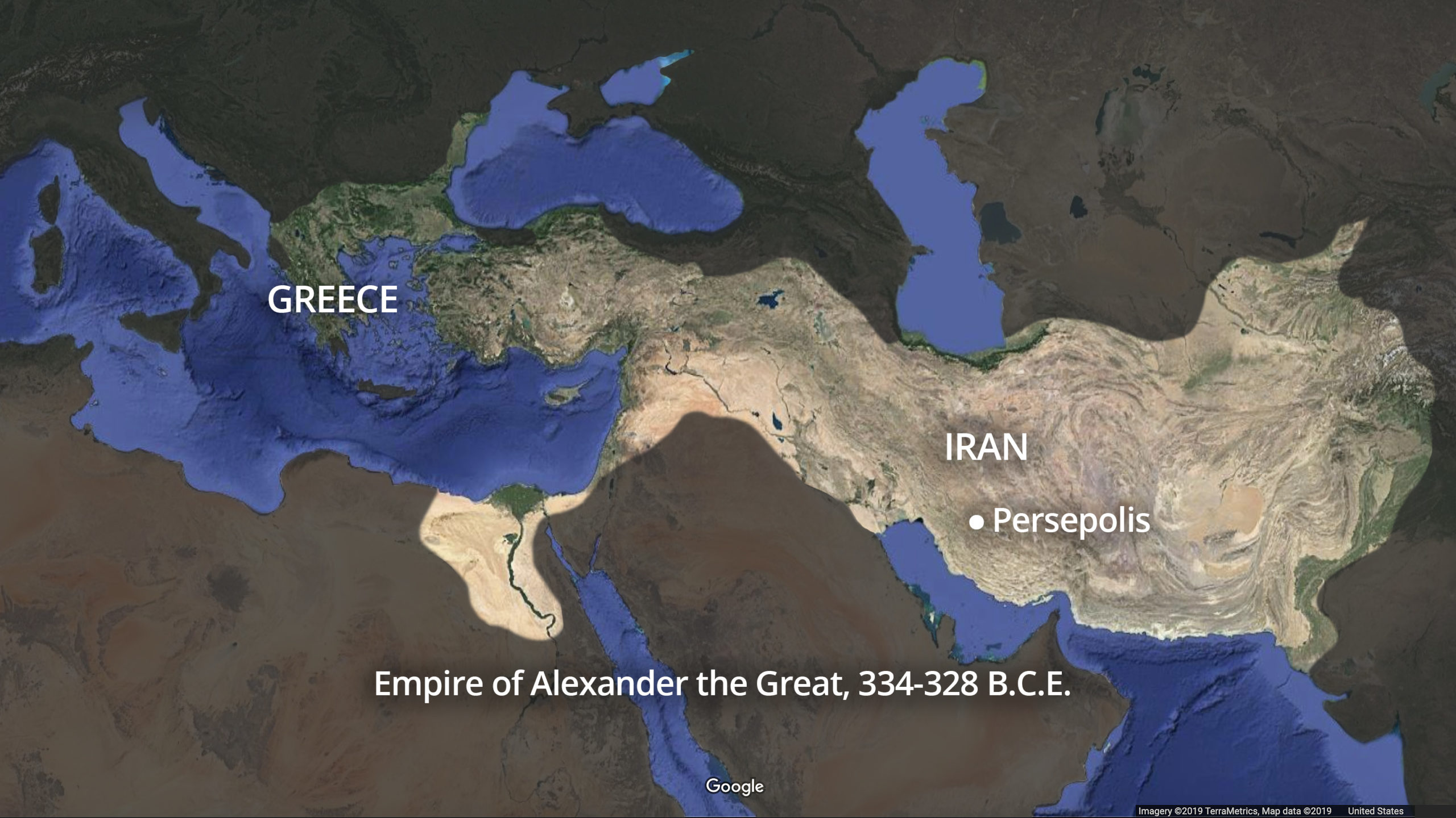
- Empire of Alexander the Great, 334–328 B.C.E.
-

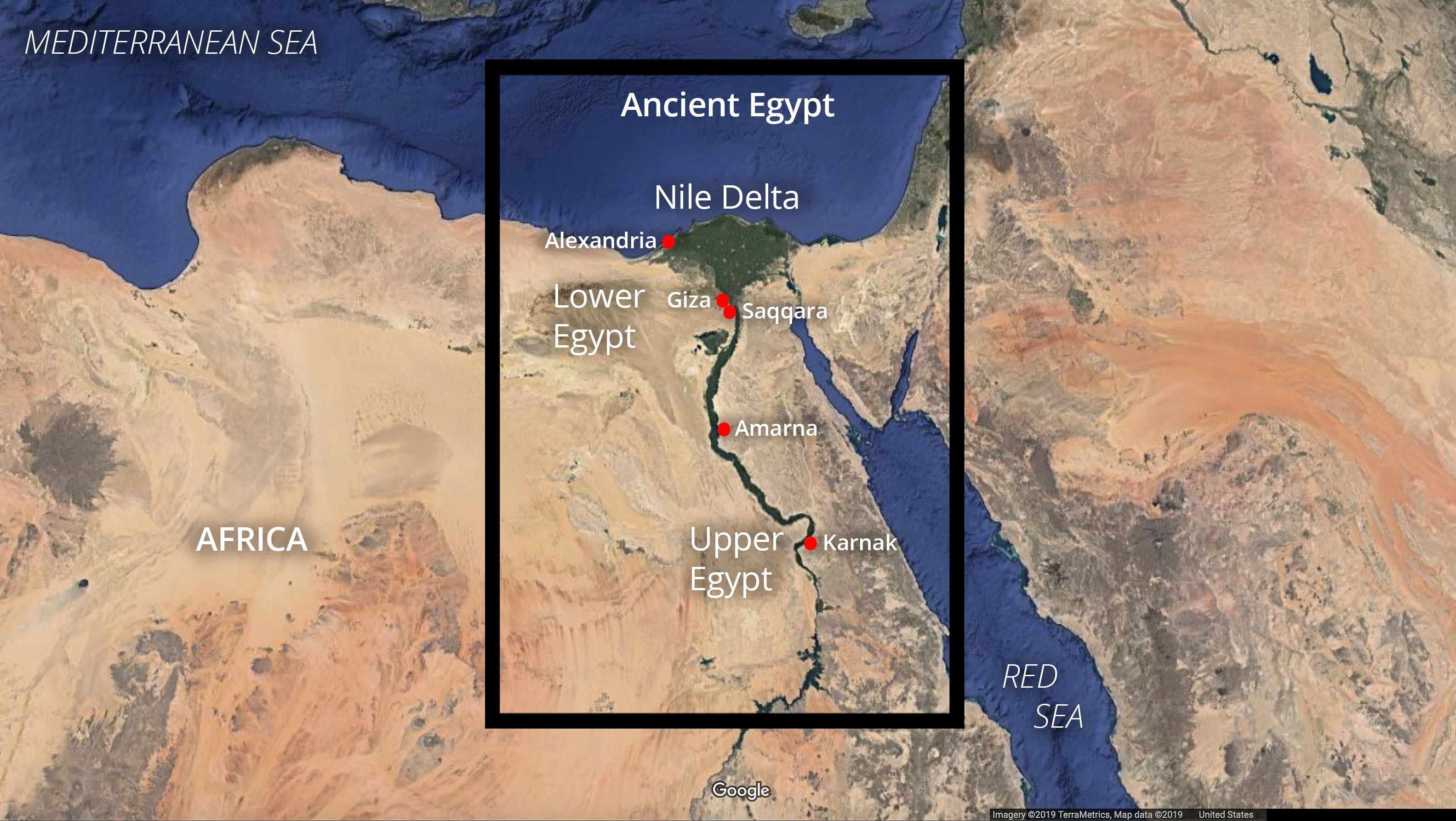
- Ancient Egypt
-
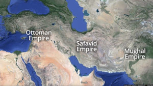
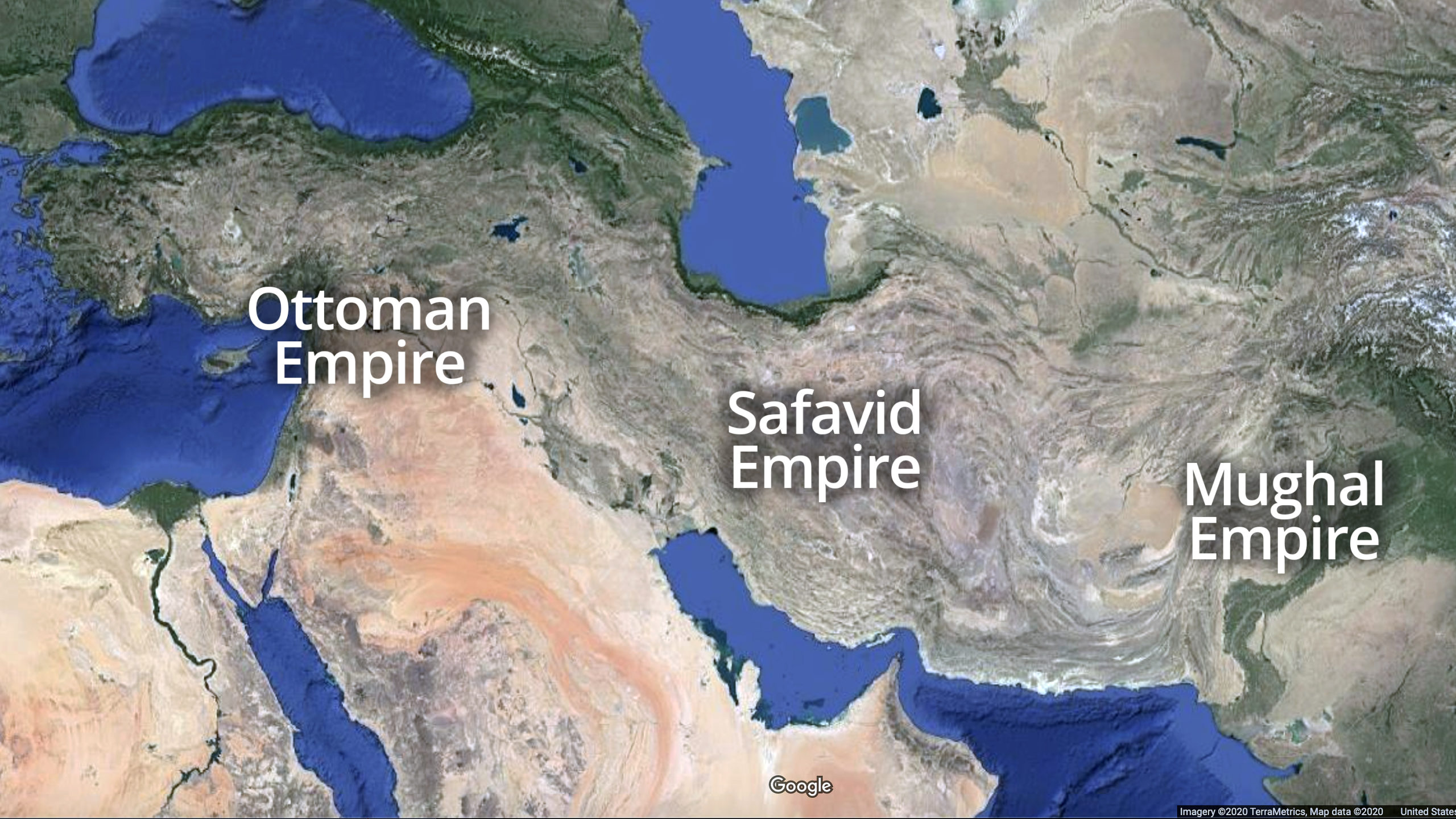
- Safavid and Roman Empires
-
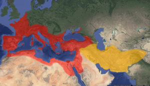
- Roman and Parthian empires

-
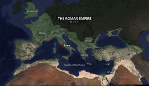
- Roman Empire 117 C.E.

-

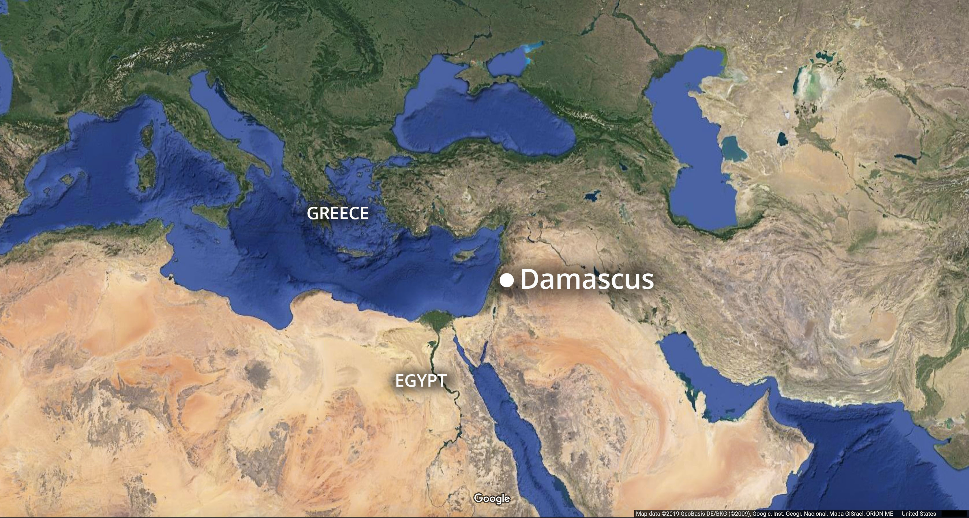
- Location of Damascus
-

- Locations of Damascus, Medina, and Mecca

-

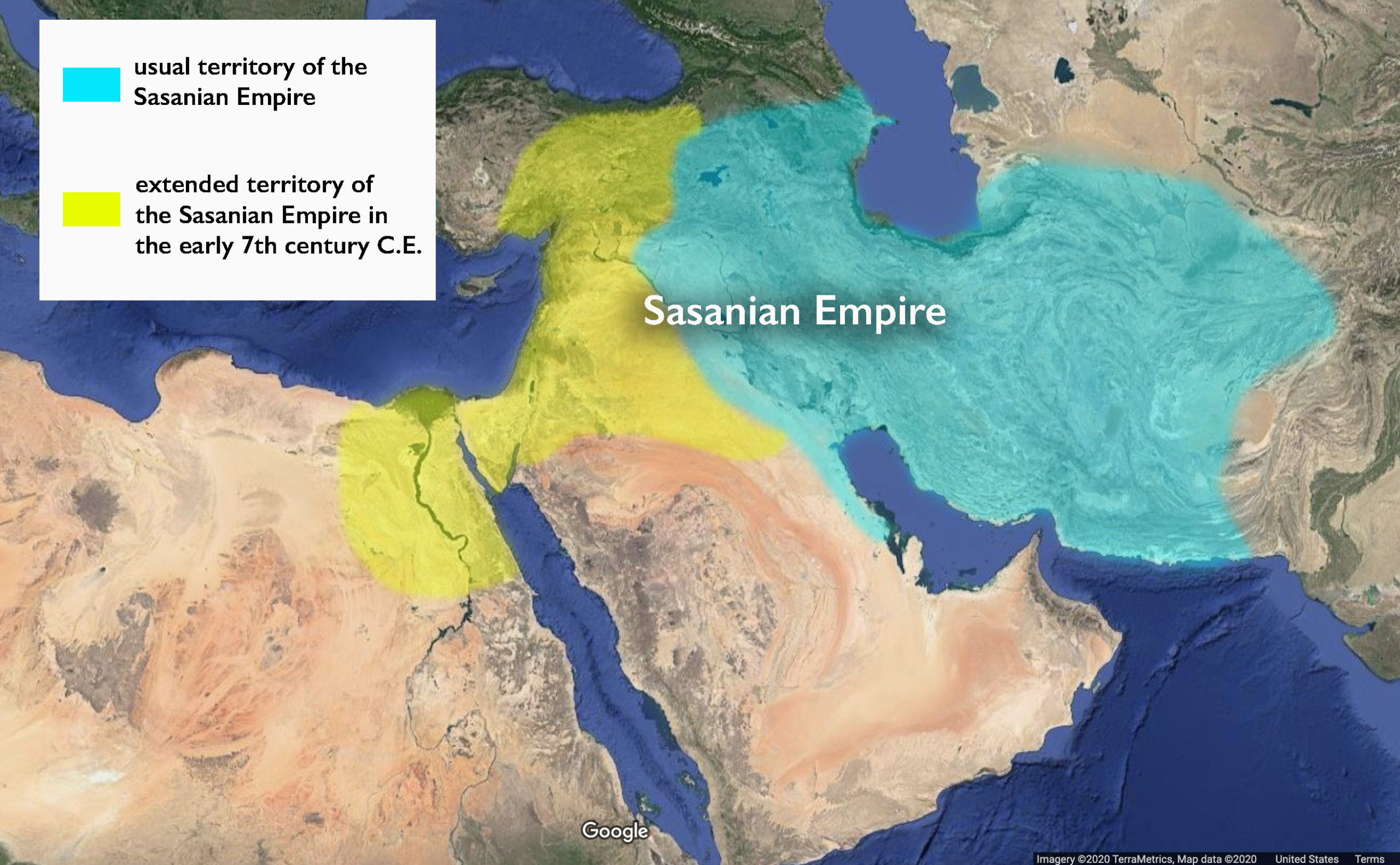
- Sasanian Empire
Europe after antiquity
-
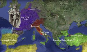
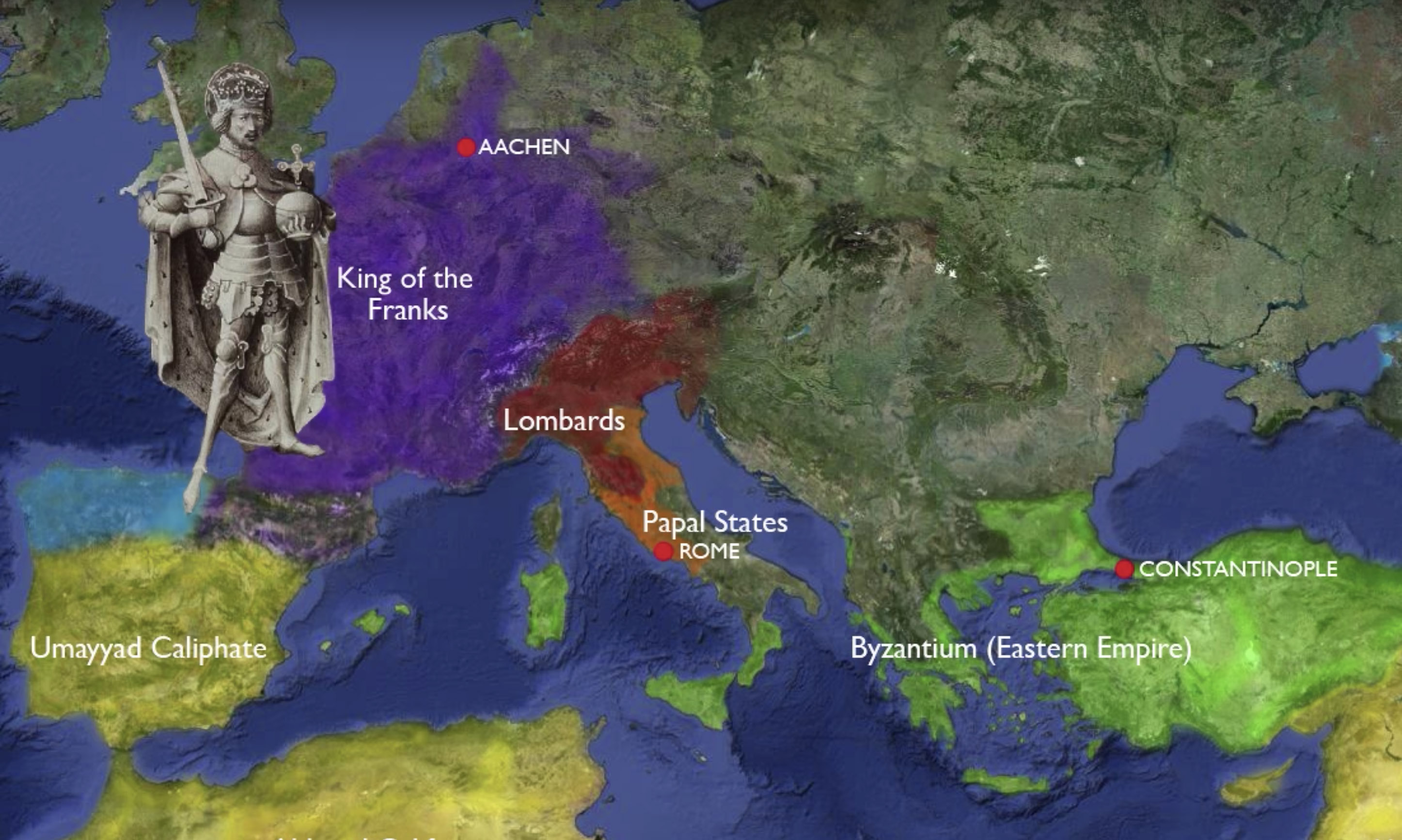
- Charlemagne’s empire
-
- Map of the Eastern Roman “Byzantine” Empire in the 6th century (underlying map © Google)

-

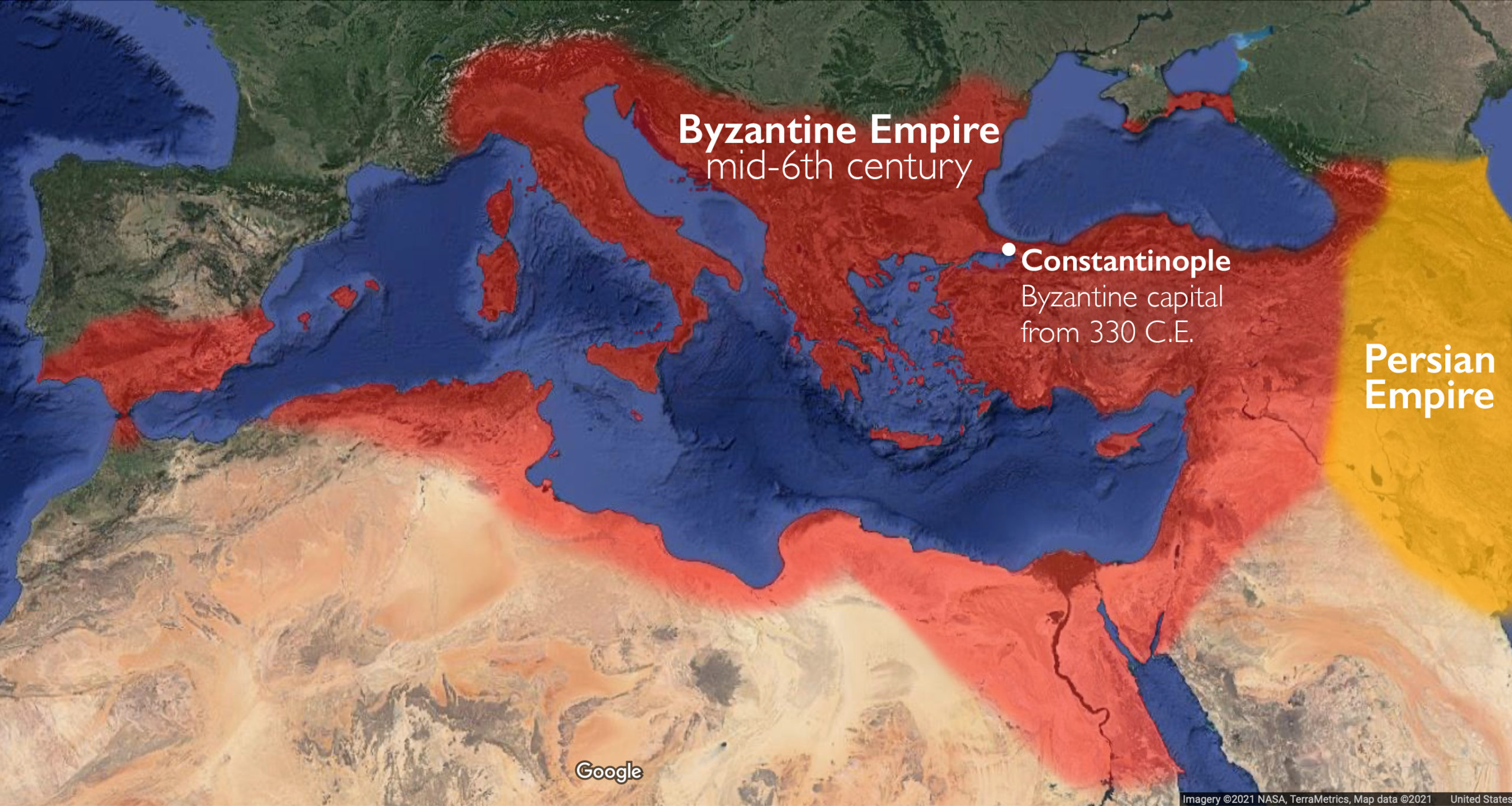
- Approximate boundaries of the Byzantine Empire at its greatest extent in the mid-6th century (underlying map © Google)
-
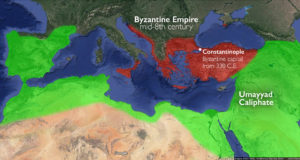
- Approximate boundaries of the Byzantine Empire in the mid-eighth century (underlying map © Google)

-
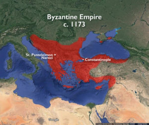
- Byzantium Empire c. 1173

-

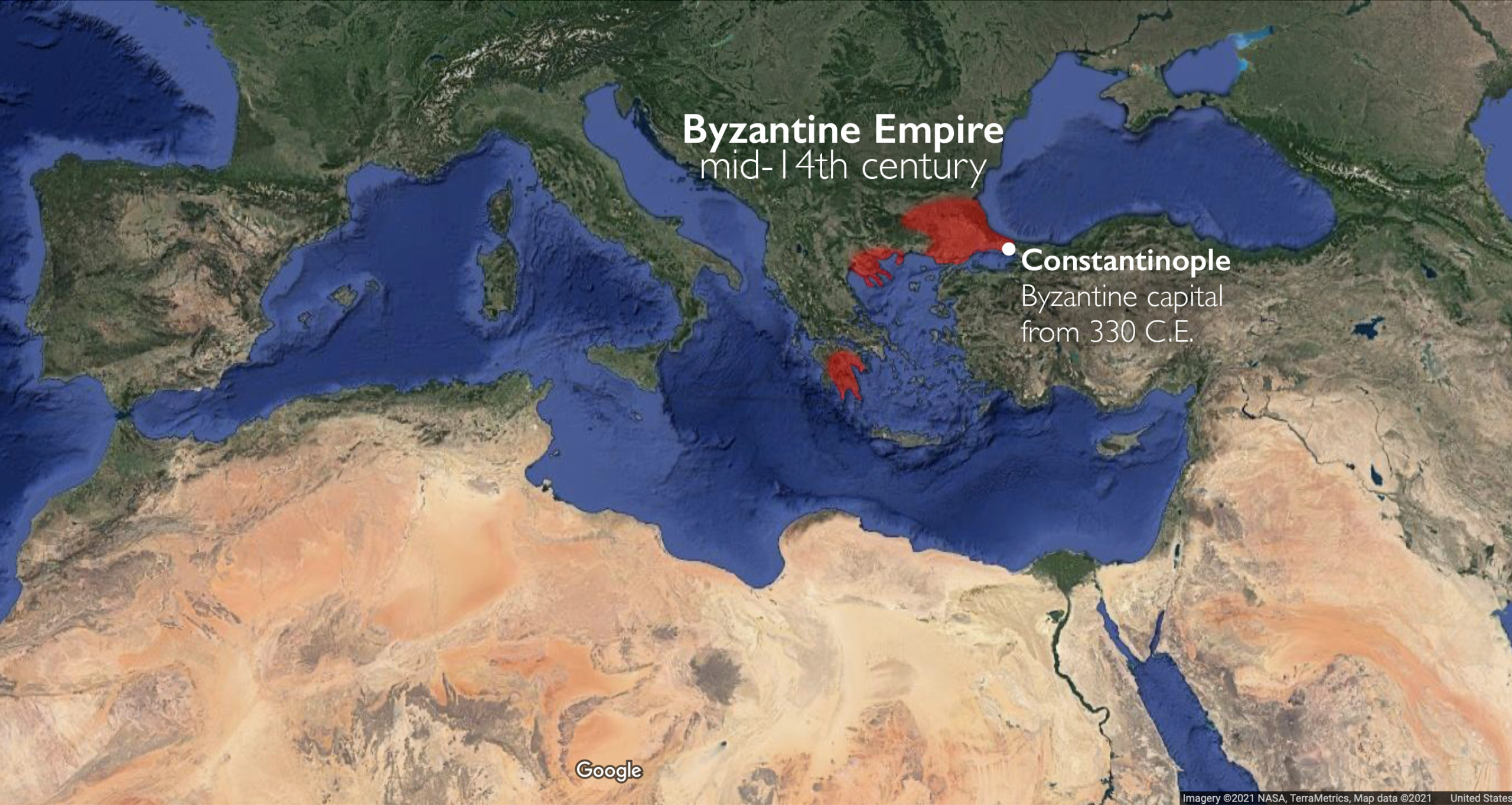
- Approximate boundaries of the Byzantine Empire, mid-14th century (underlying map © Google)
-
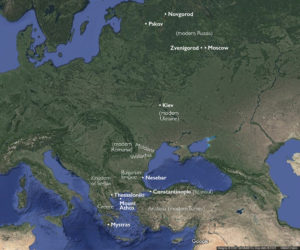
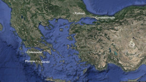
- Major centers in the Late Byzantine period (underlying map © Google)
-
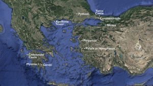
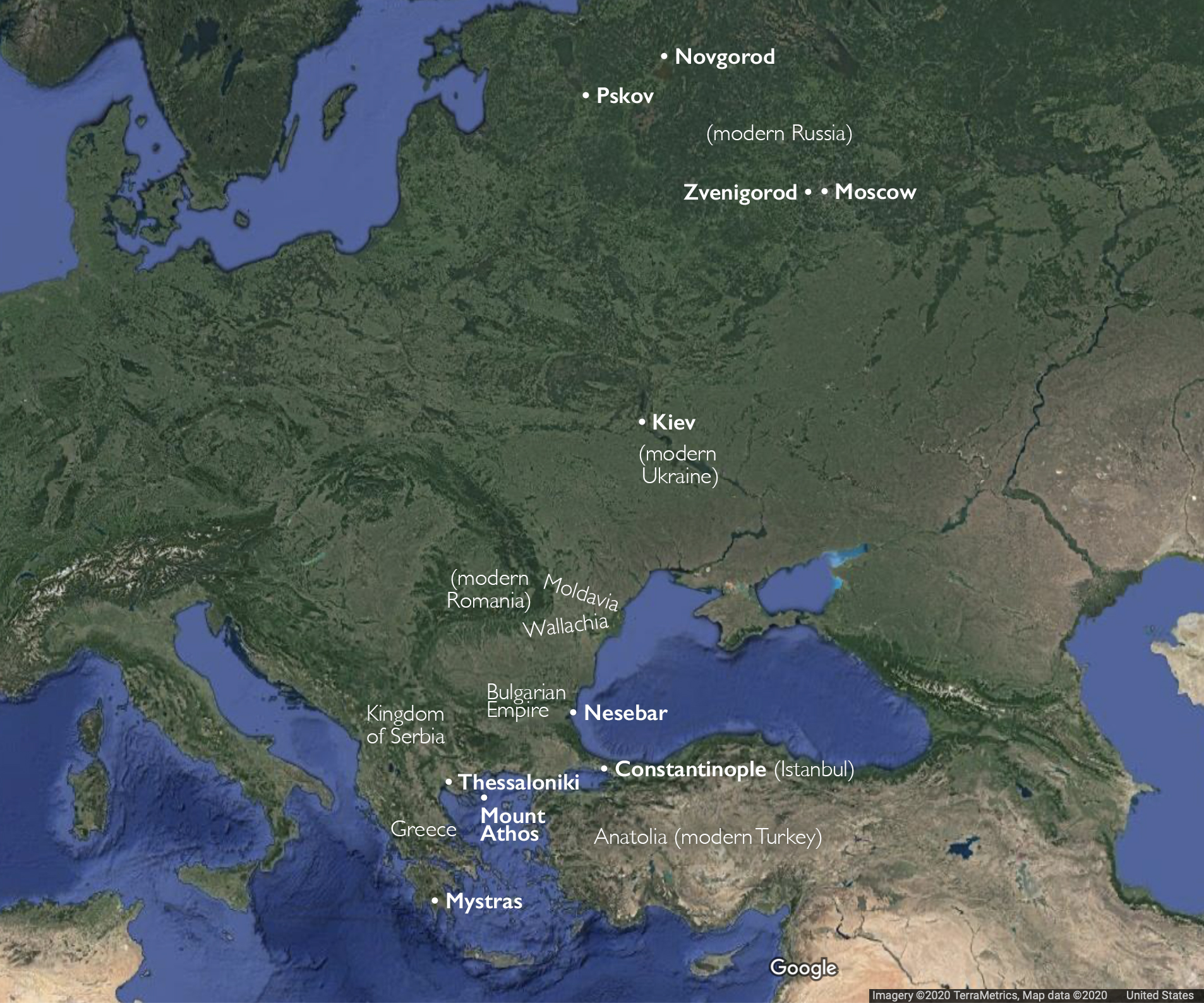
- Late Byzantine cities and fortifications (underlying map © Google)

-
- Late Byzantine cities and fortifications (underlying map © Google)

-
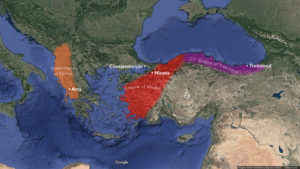
- Byzantine successor states following the sack and occupation of the Byzantine capital of Constantinople, 1204-1261 (underlying map © Google)

-

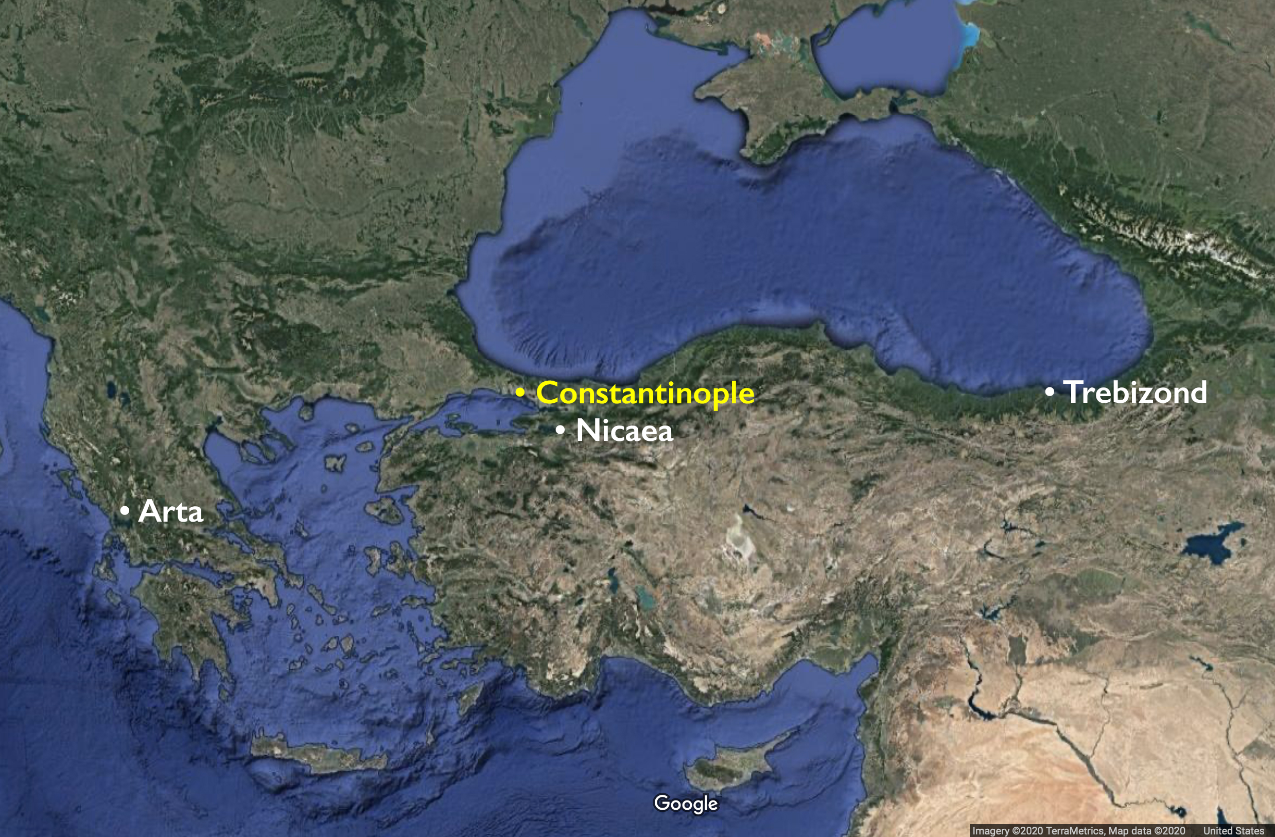
- Byzantine successor states (map © Google)
-

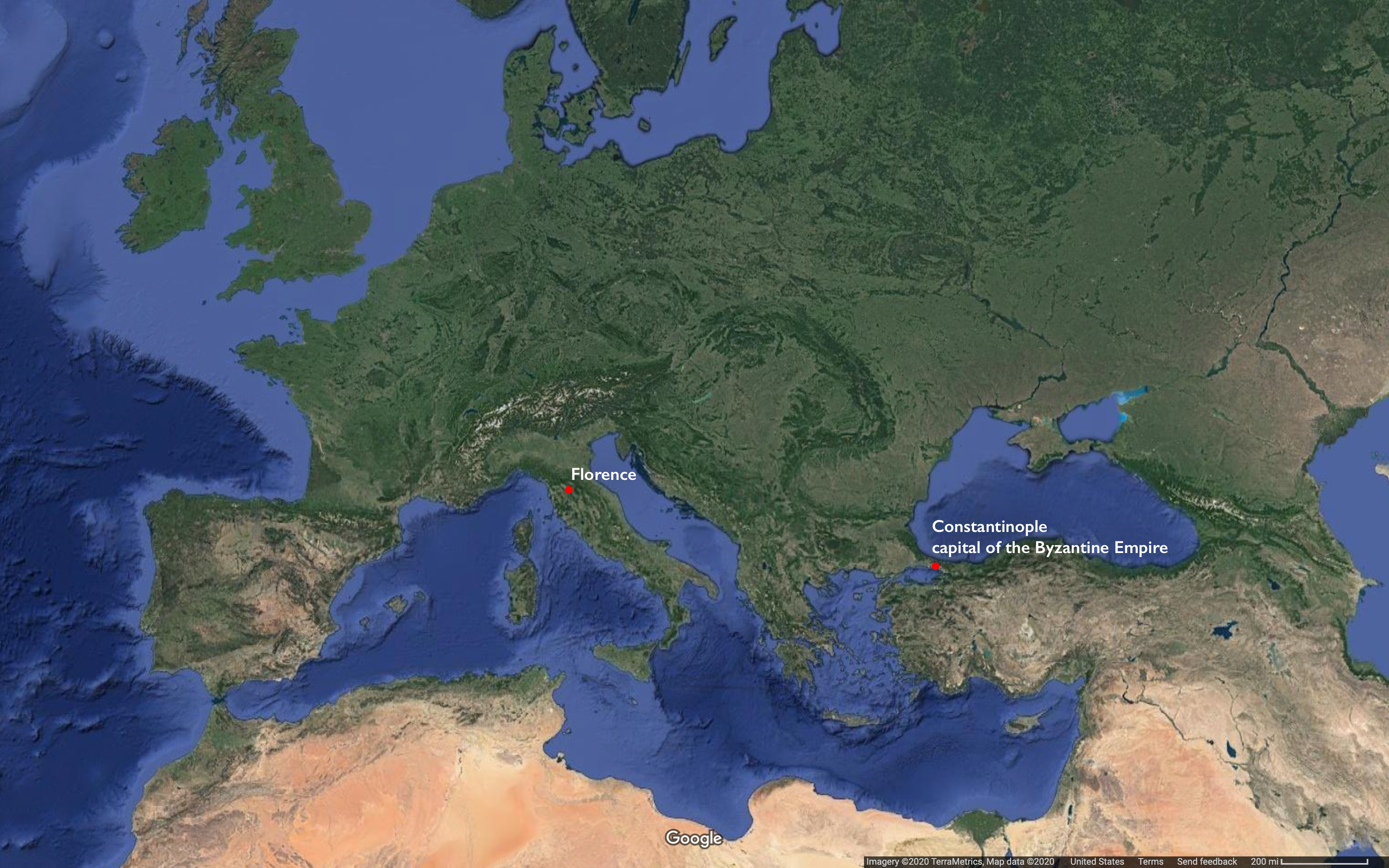
- Florence and Constantinople
-

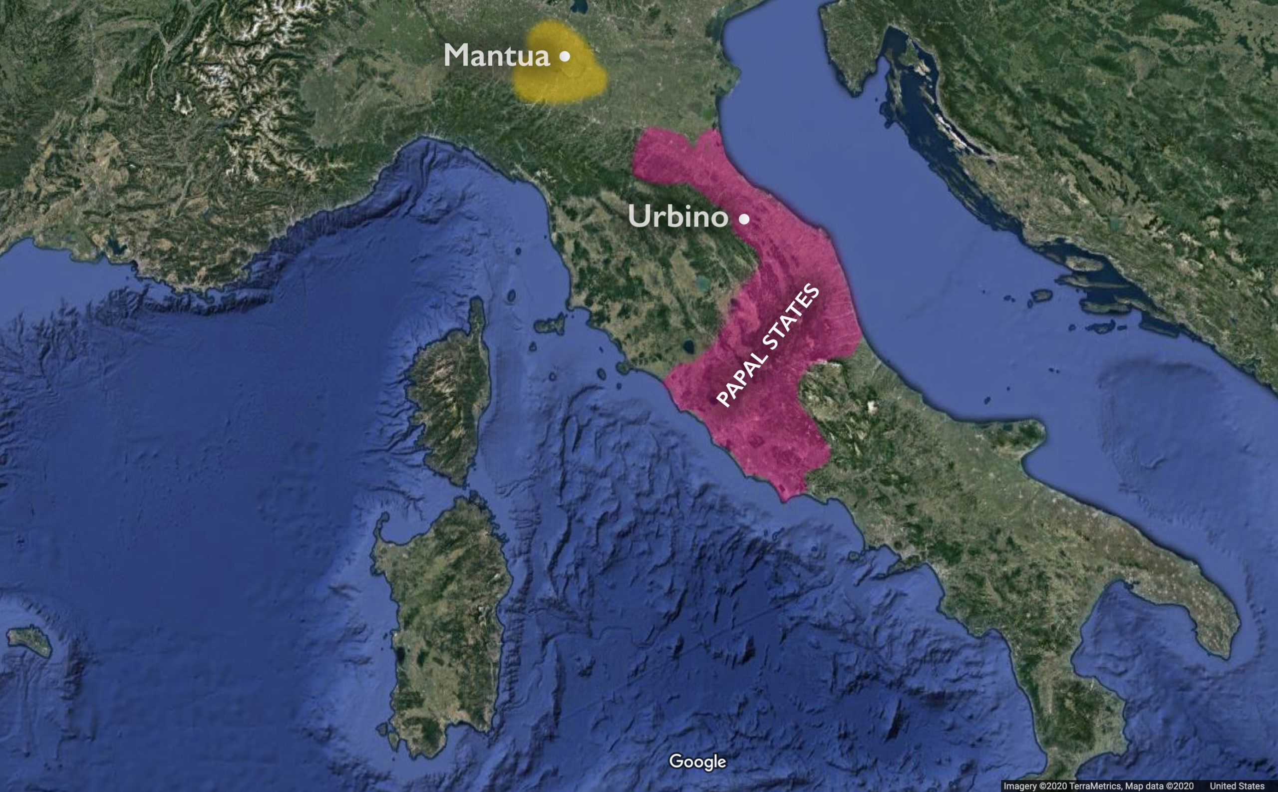
- Mantua and the Papal States
-
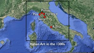
- Italian Art in the 1300s

-
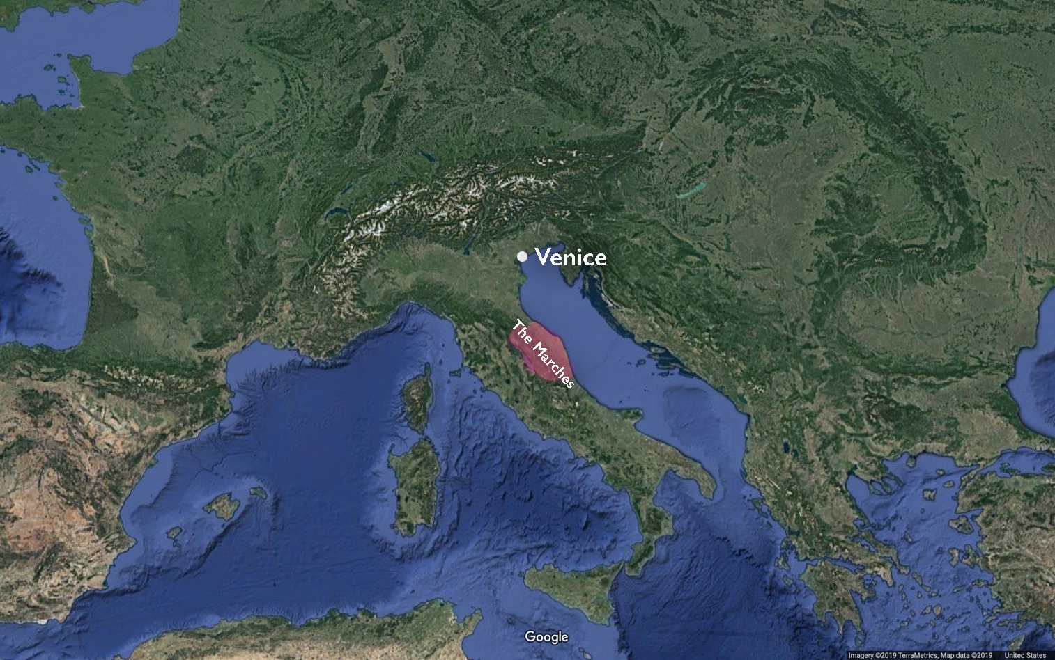
- Marches, Italy
-
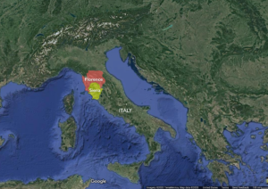
- Florence and Siena

-
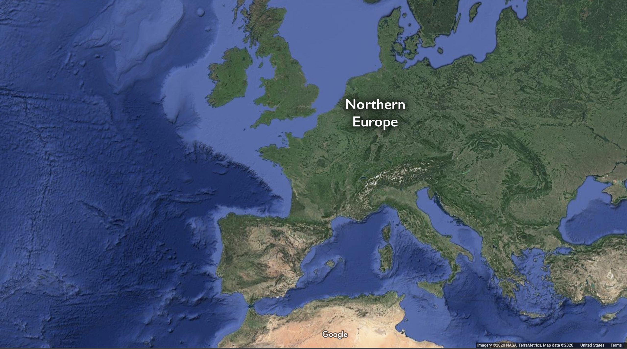
- Northern Europe
-

- Northern Europe and Spain

-
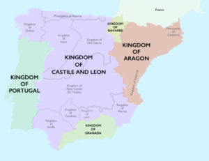
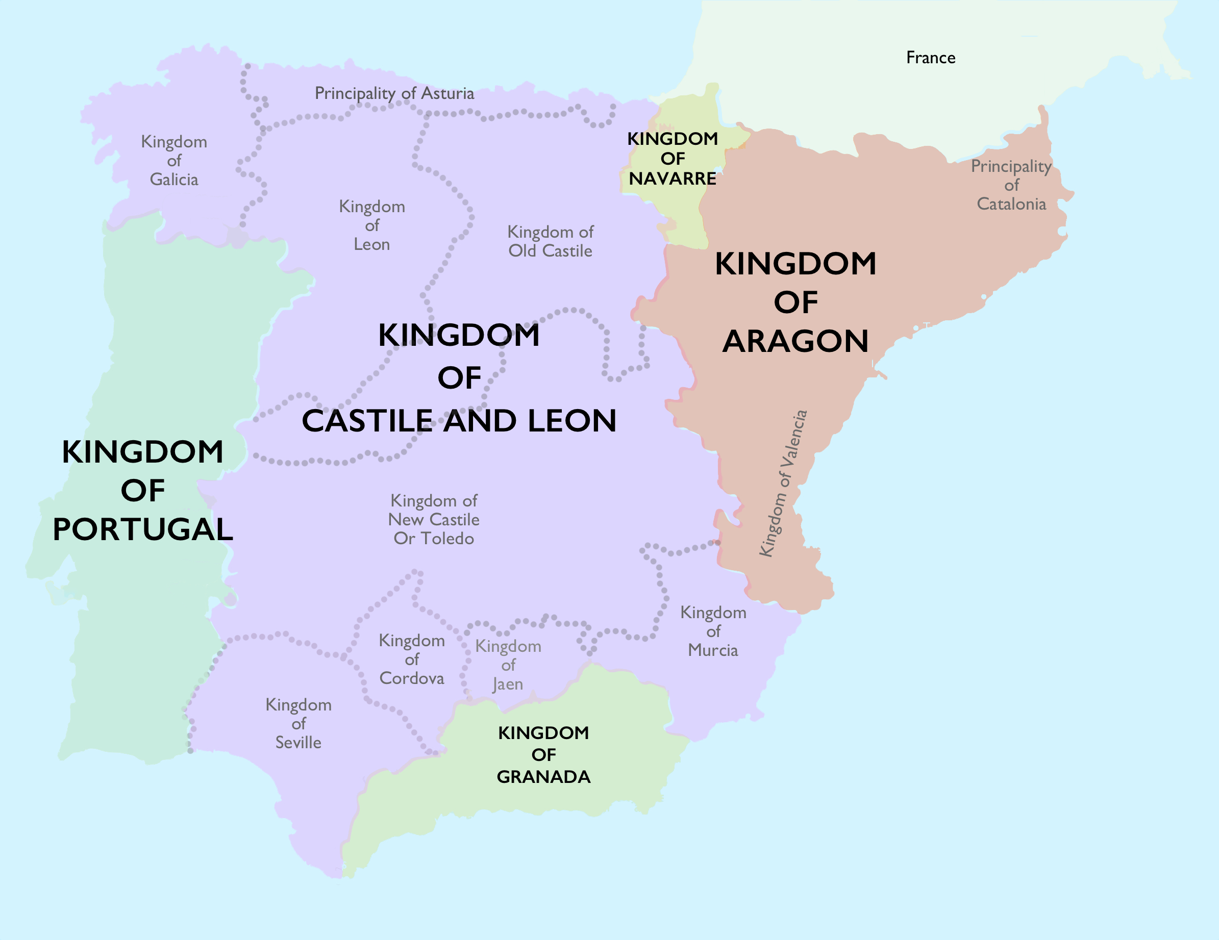
- Kingdoms in Spain
-
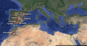
- Map of the Islamic west (underlying map © Google)

-

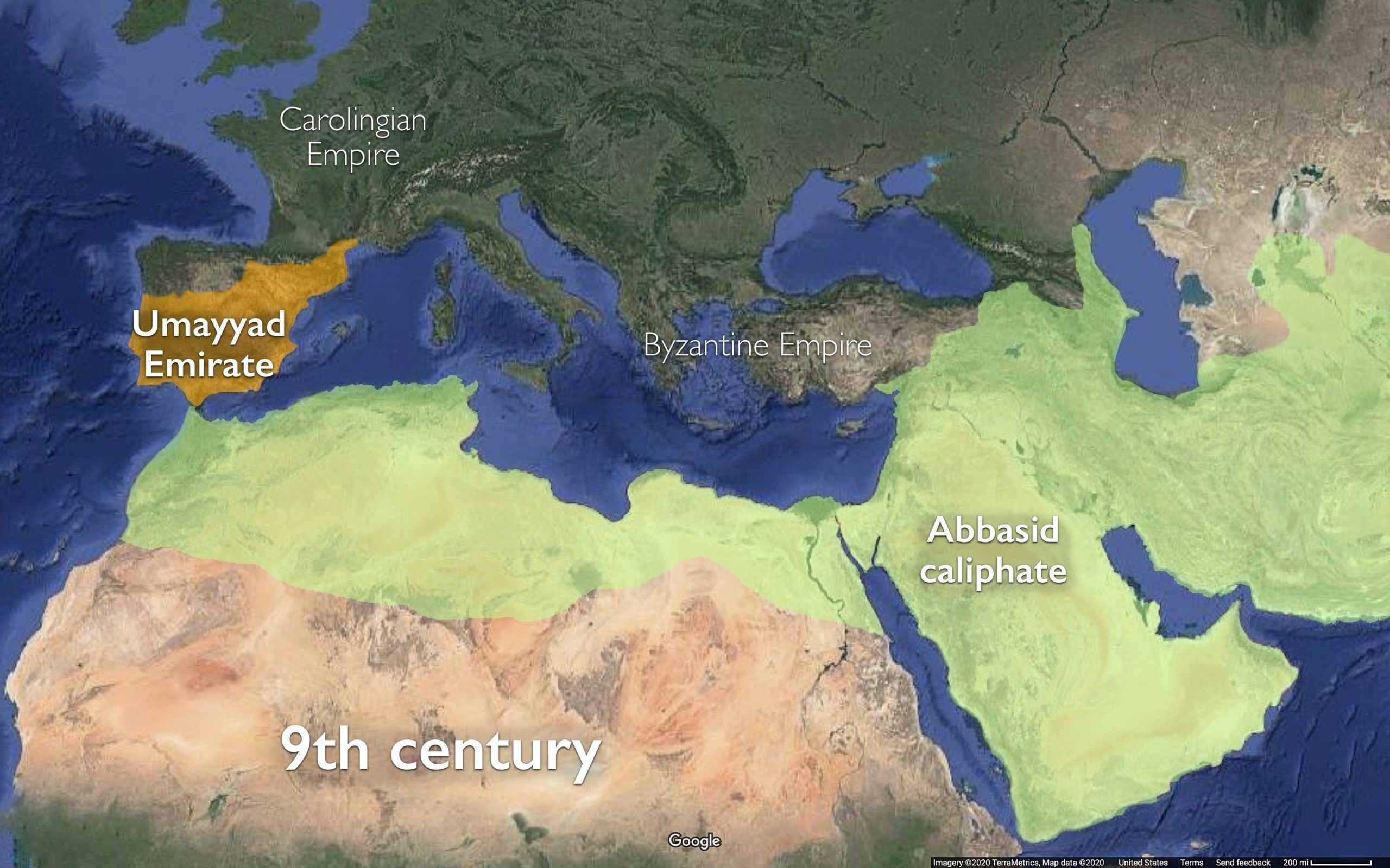
- Map of the Mediterranean and west Asia in the 9th century
The Americas
-

- Early Andean cultures
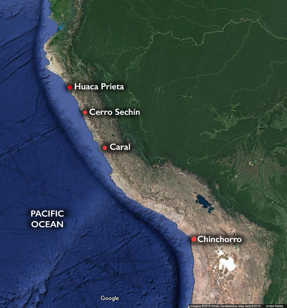
-

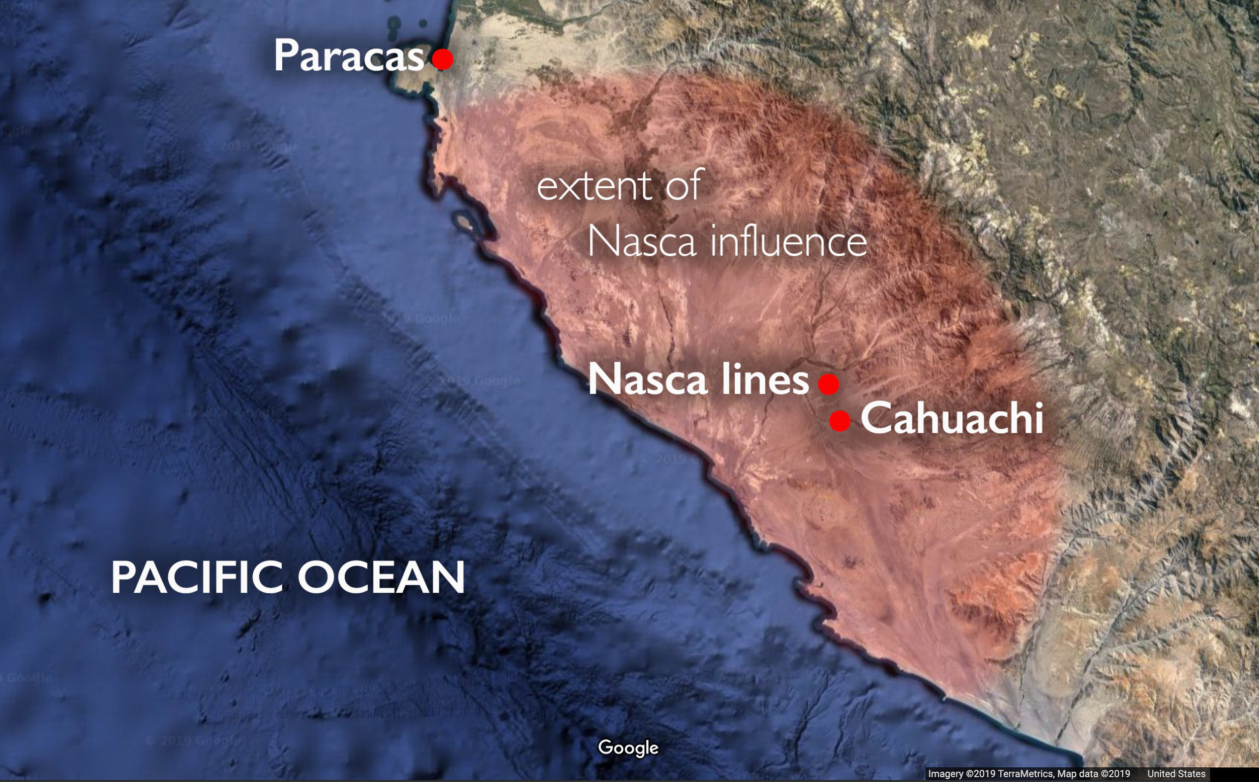
- Andean cultures
-
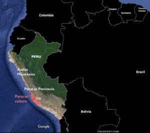
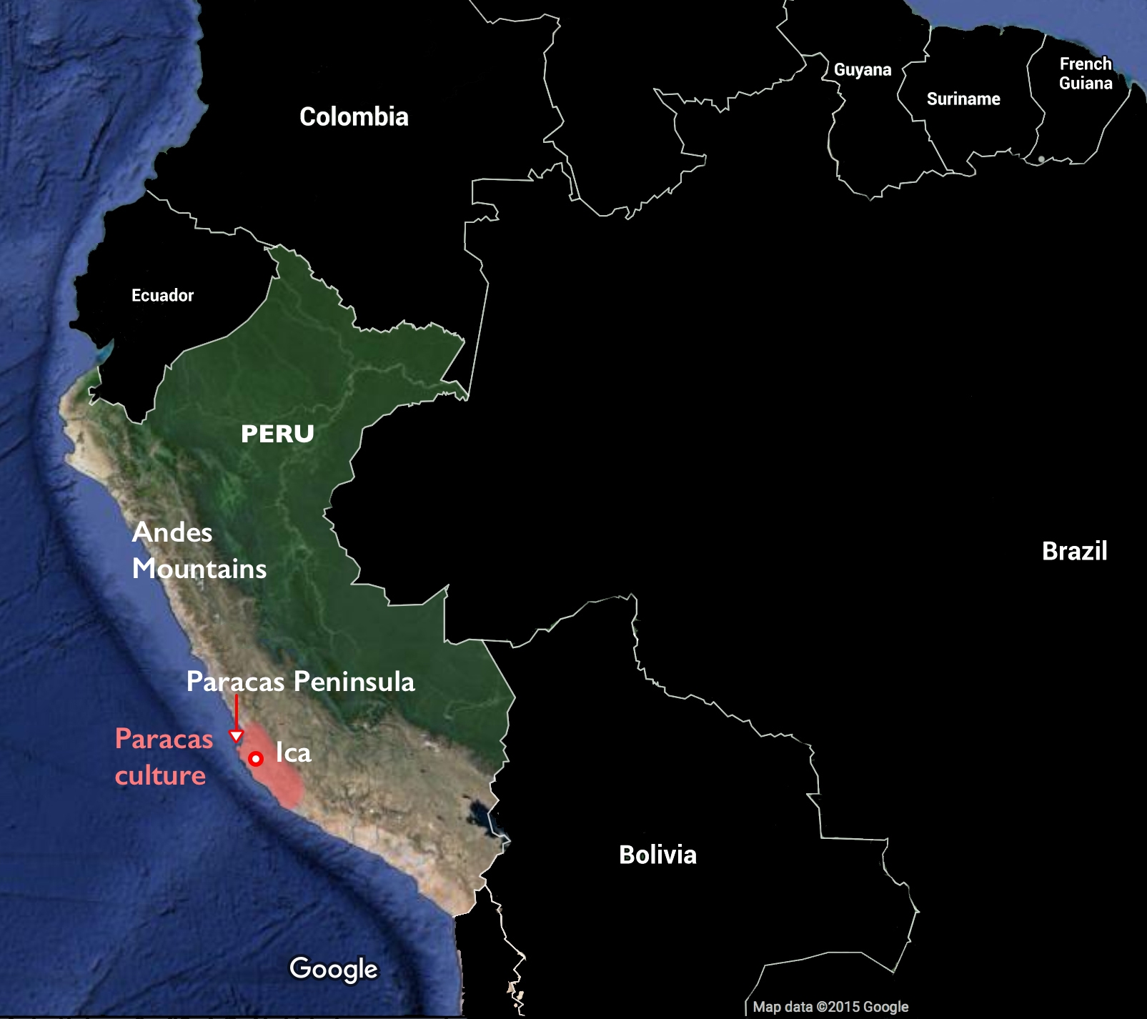
- Paracas Culture
-

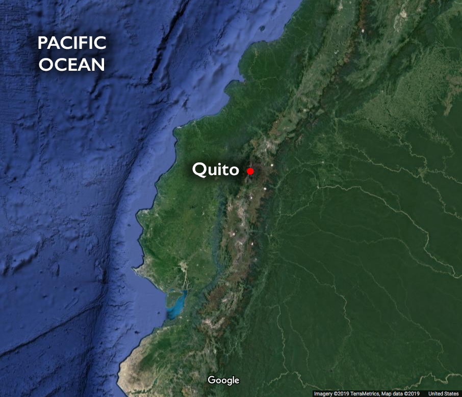
- Location of Quito
-
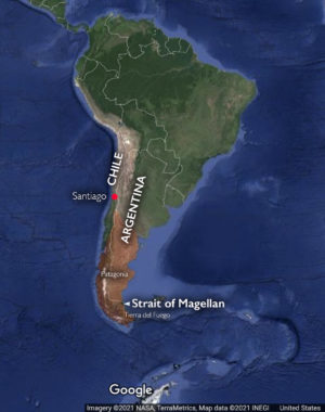
- Map of Chile and Argentina, showing Patagonia and the Strait of Magellan (underlying map © Google)

-

- Indigenous rebellions in New Spain
-
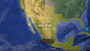
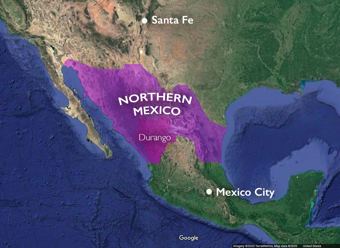
- New Spain with Mexico City

-

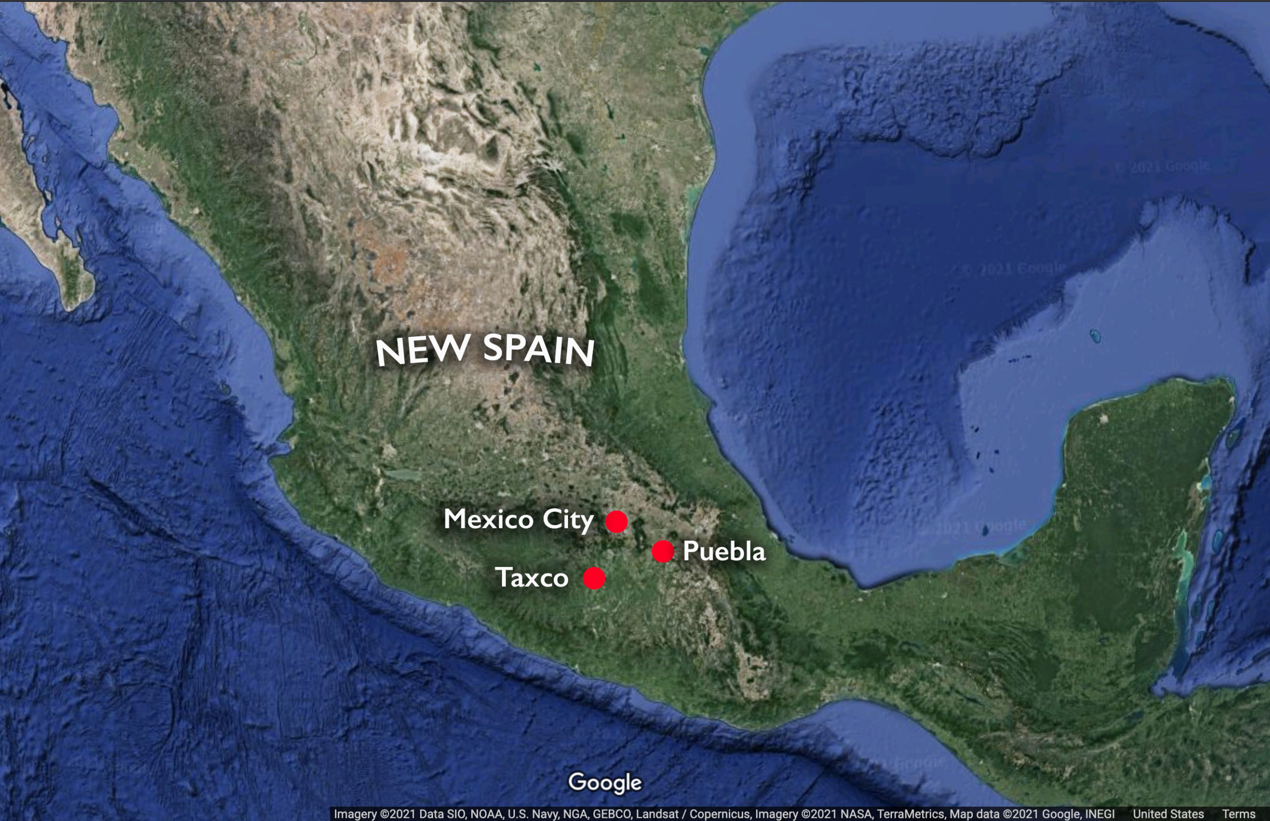
- New Spain with Mexico City, Taxco, and Puebla
-
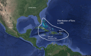
- Taino distribution

-
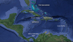
- Isthmo-Antillean region

-
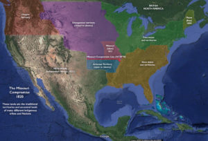
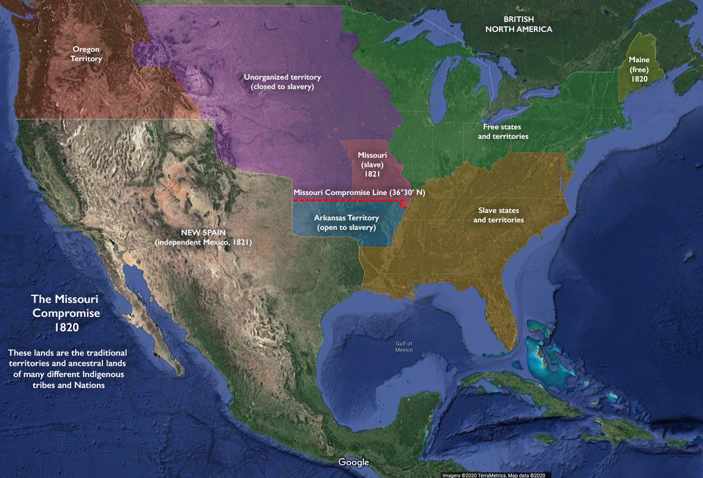
- U.S. states and territories after the Missouri Compromise 1820
-
- Territorial boundaries claimed by the U.S. and Mexico, 1846

-

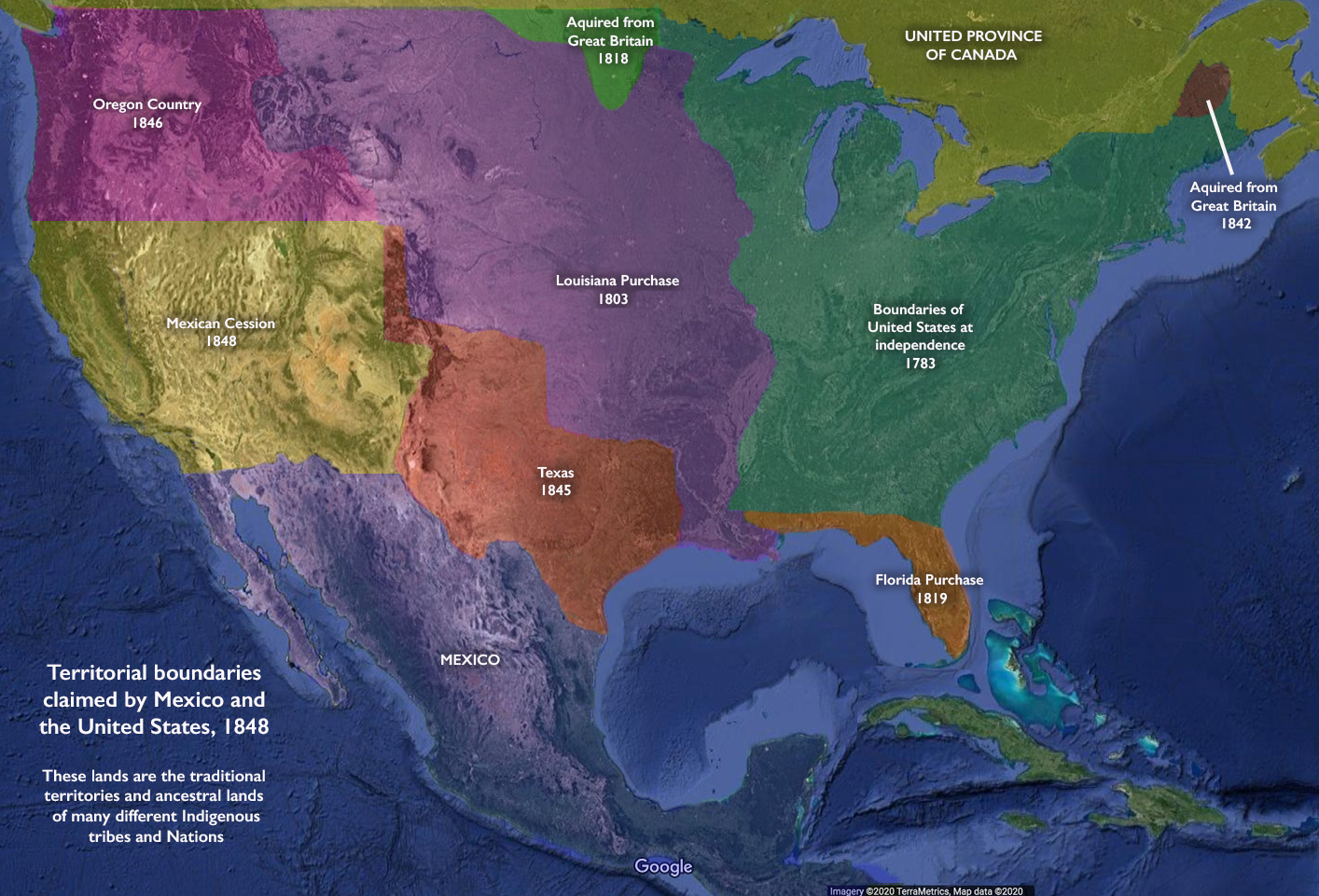
- Territorial boundaries claimed by the U.S. and Mexico after the Treaty of Guadalupe-Hidalgo, 1848
-
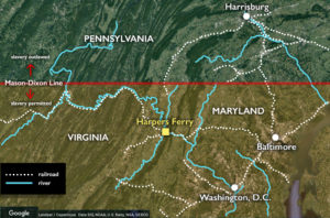
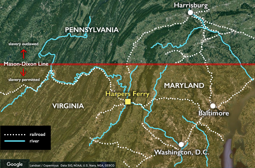
- Harper’s Ferry, Virginia c. 1859
-

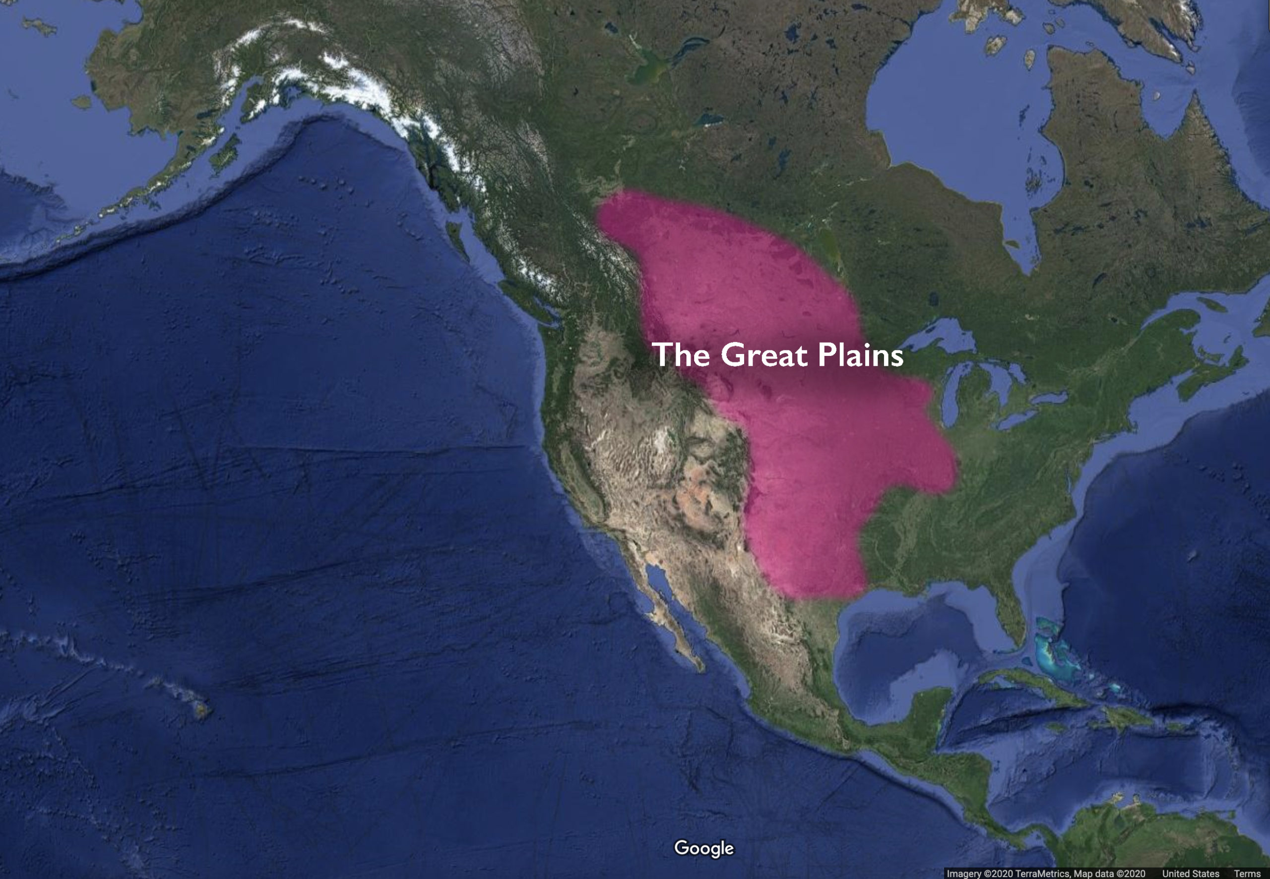
- The Great Plains, North America
Asia
-

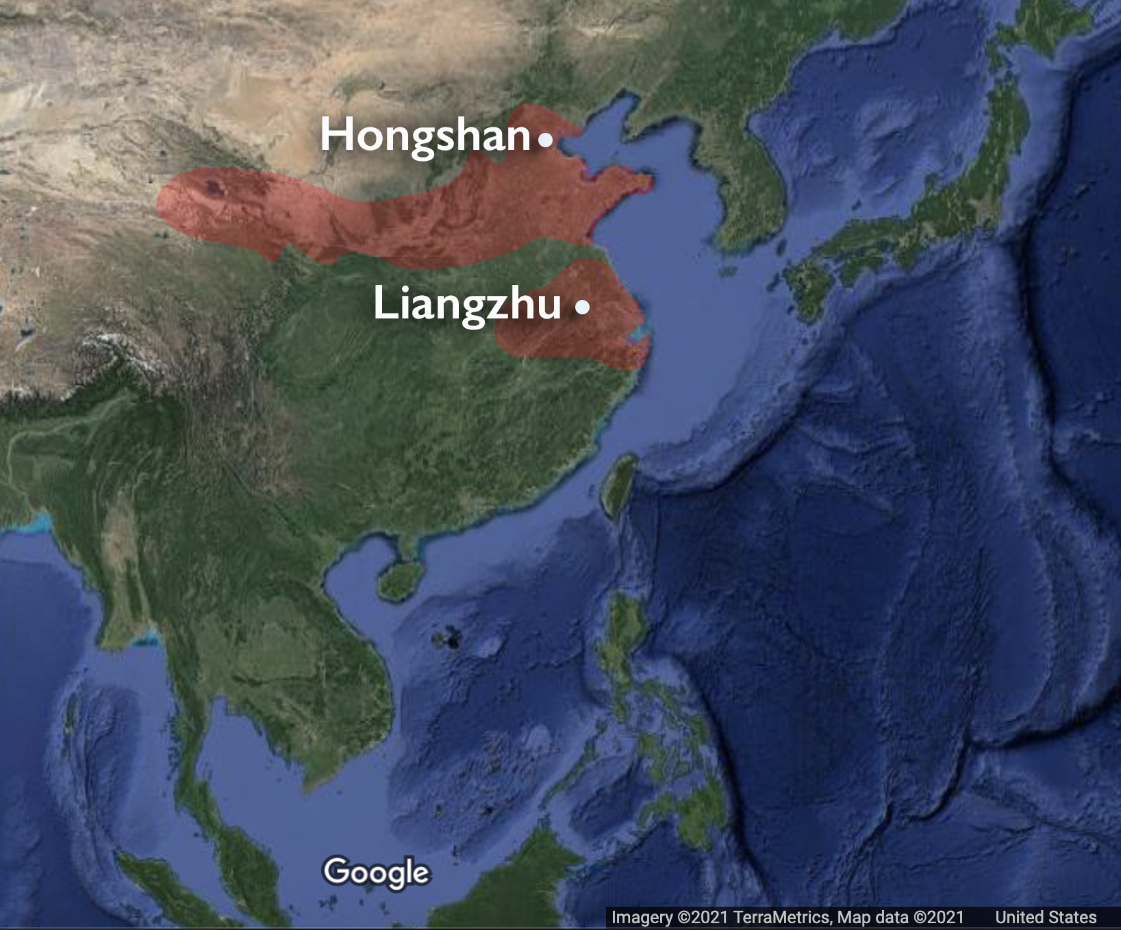
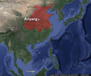
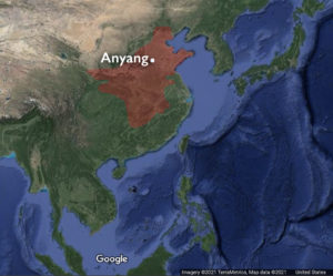
- Map of Neolithic China (underlying map © Google)
-

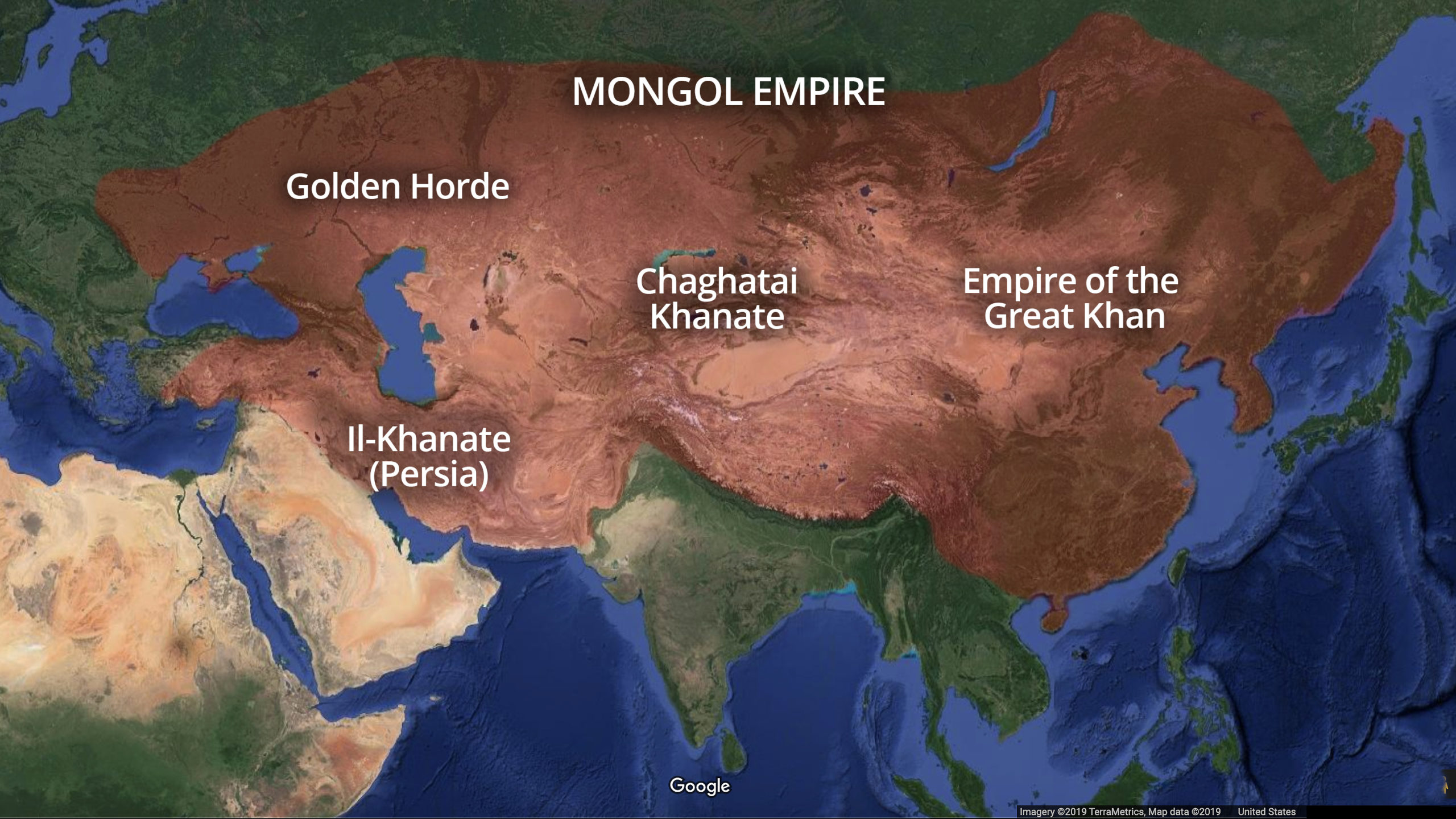
- Mongol Empire
-
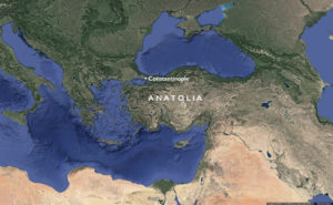
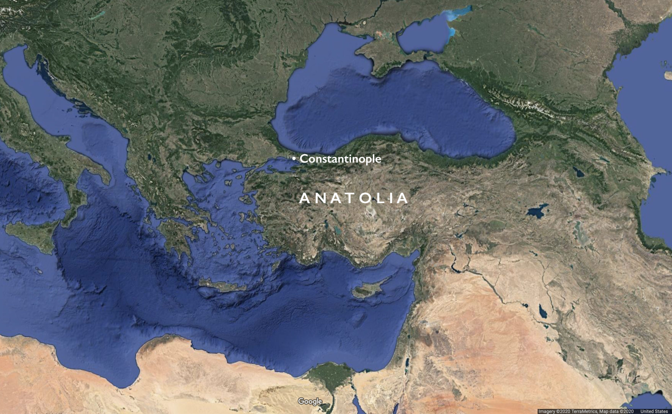
- Anatolia
-
- Map of the Zhou

-
- Map of the Shang (underlying map © Google)

-

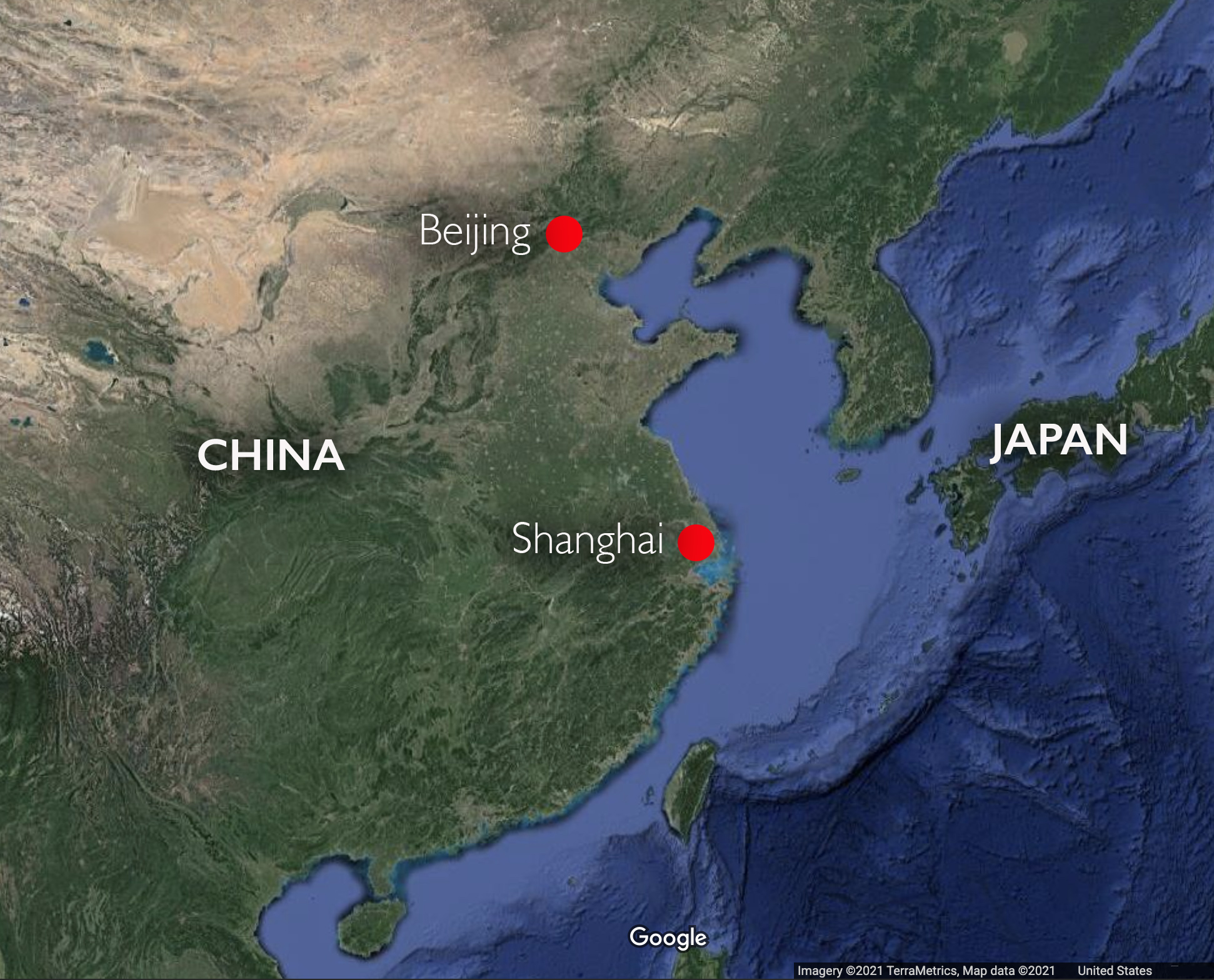
- Map of China with Shanghai and Beijing
-
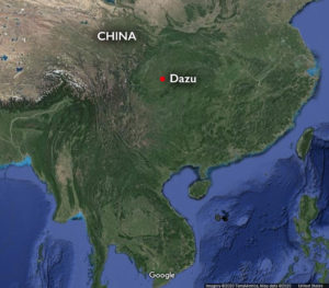
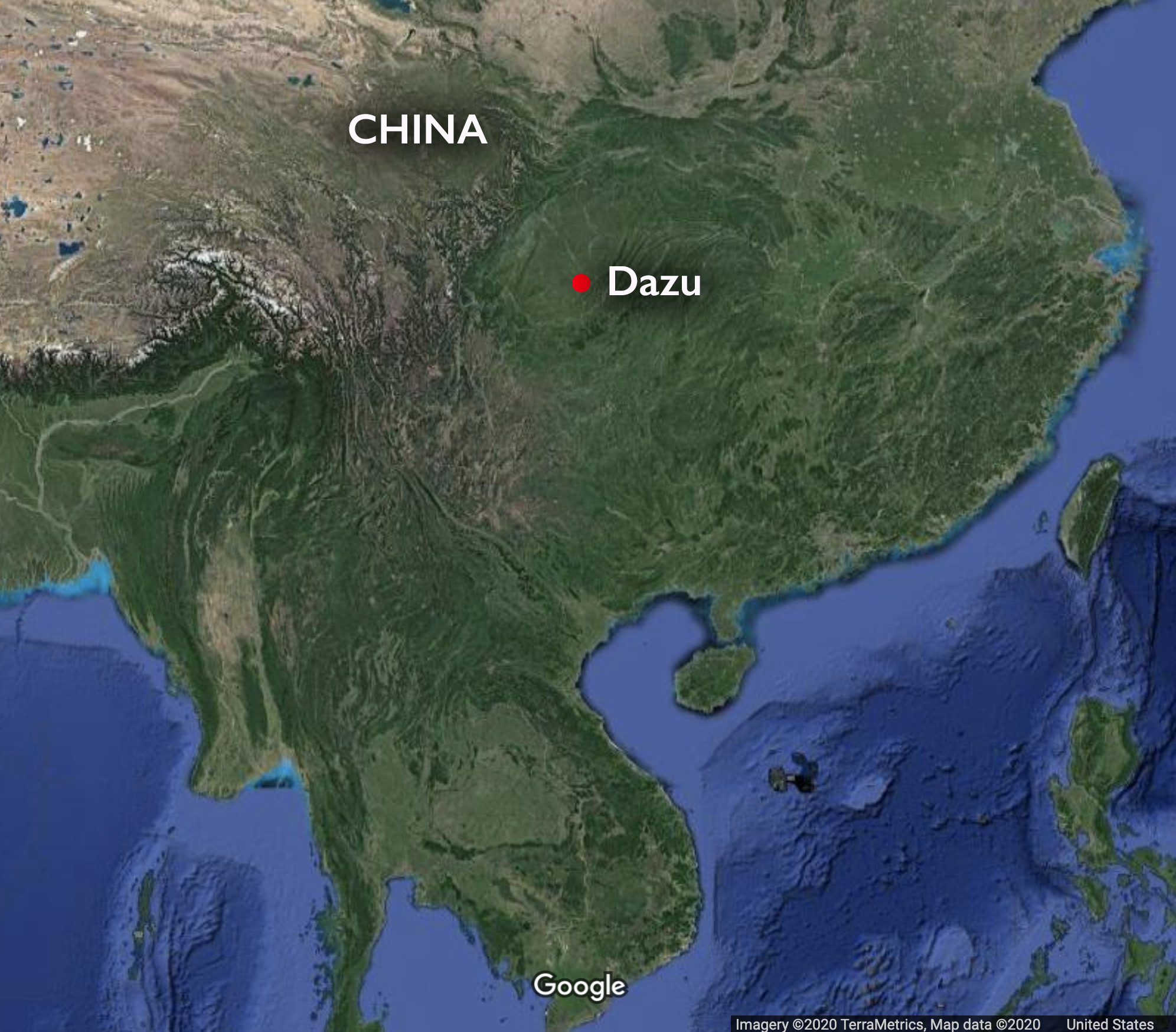
- Location of Mt. Baoding in Dazu, China (underlying map ©Google)
-

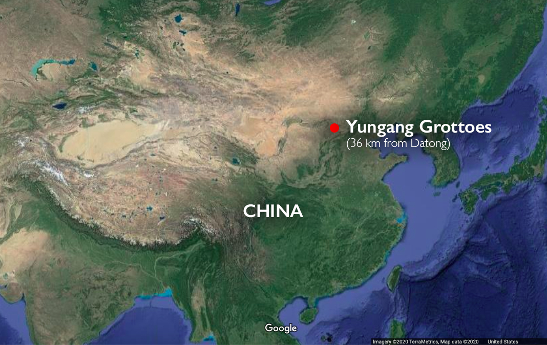
- Location of the Yungang grottoes, China (underlying map ©Google)
-

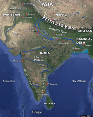
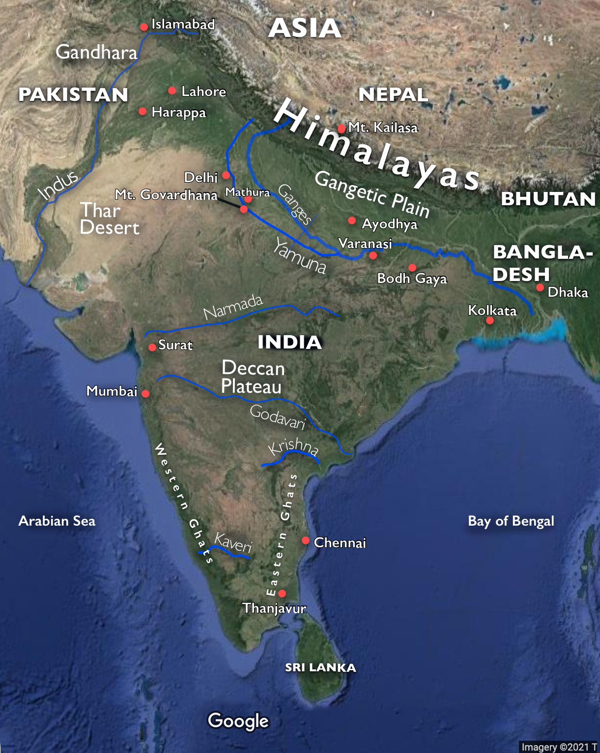
- Map of South Asia
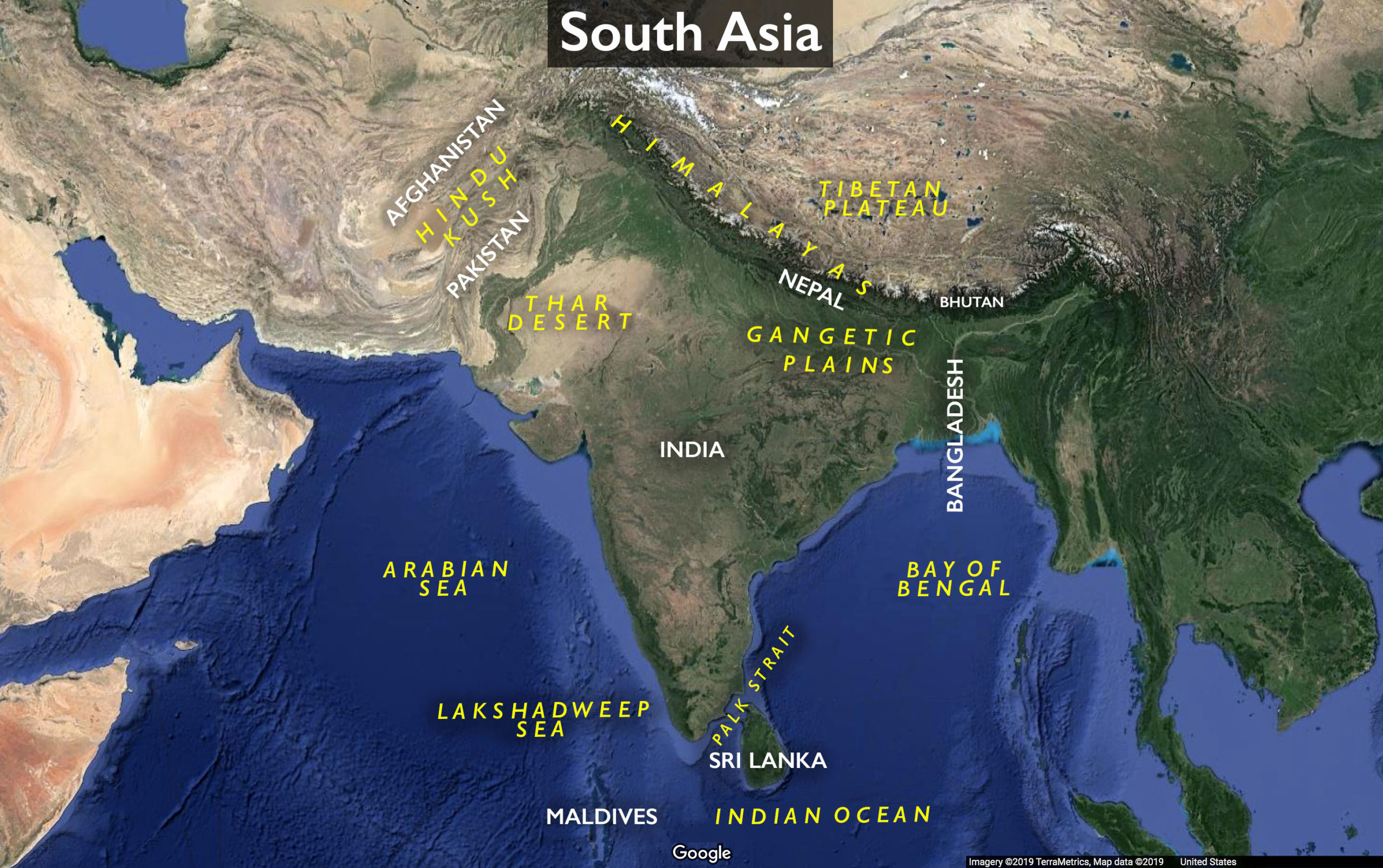
-
- Map of South Asia
-

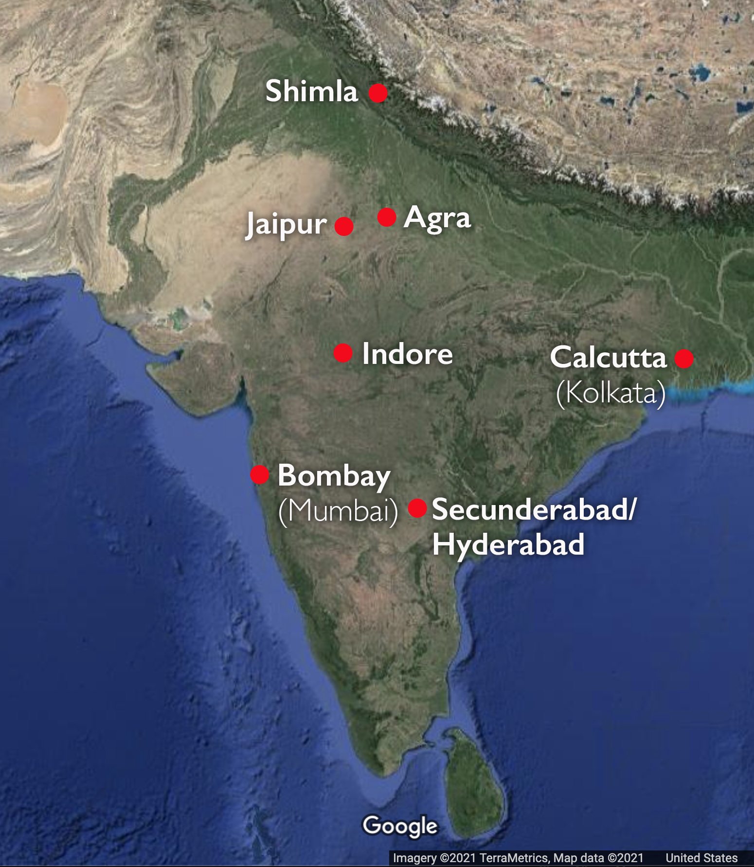
- Map of India with cities (underlying map © Google)
-

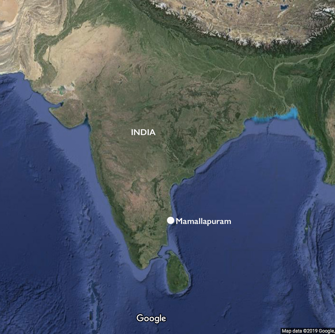
- Location of Mamallapuram, India
-
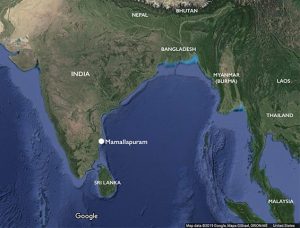
- Location of Mamallapuram, South Asia

-
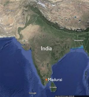
- Madurai, India (underlying view © 2018 Google maps)

-
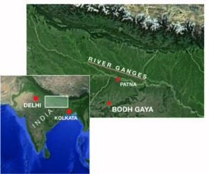
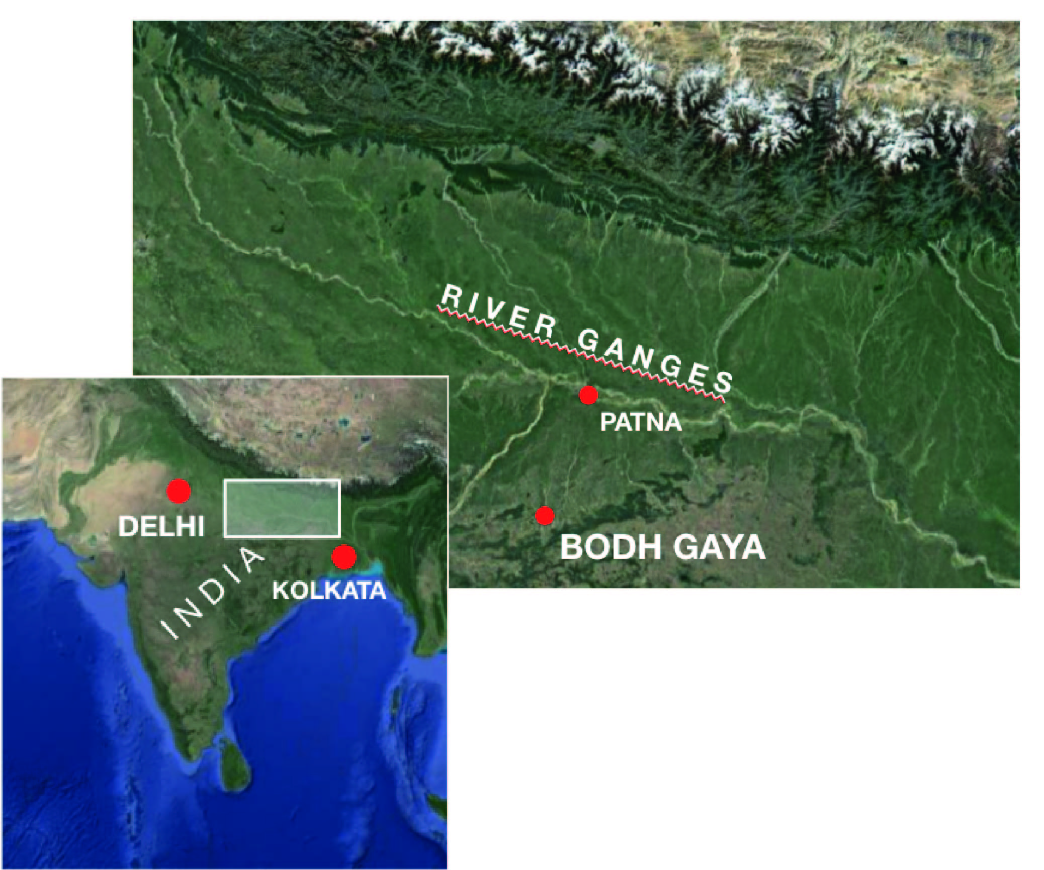
- Location of Bodh Gaya in India (underlying map ©Google)
-

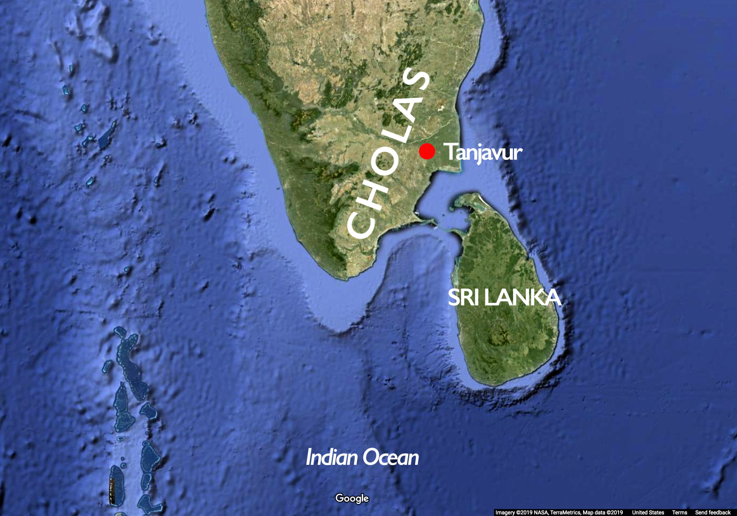
- Map of Chola territory in South India
-
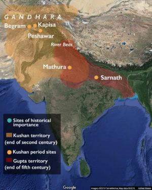
- The Kushan and Gupta period, India

-
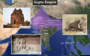
- Approximate extent of the Gupta Empire, c. 5th century C.E. Adapted from Woudloper, CC BY-SA 4.0.